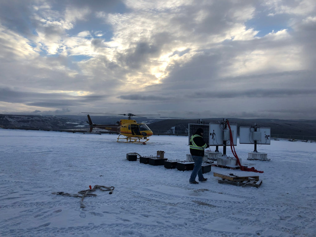
Real-time monitoring advances landslide risk management

On September 30, 2018, the 200 or so residents of British Columbia’s Old Fort (not far from Fort St. John) were shocked by the roar of a landslide occurring a couple of miles outside of town, as 8 million cubic meters (10.5 million cubic yards) of dirt, rock and big boulders swept down about 1,000 meters (0.6 miles) from a gravel pit to Peace River wetlands, laying waste to everything in their path, including trees, utilities, and—of most concern to residents—about 600 meters (2,000 feet) of the Old Fort Road, the only access for residents. It was a roar heard around the nation, making the evening news and drawing the nearly immediate attention of the B.C. Ministry of Transportation and Infrastructure.
Read the whole story here :
