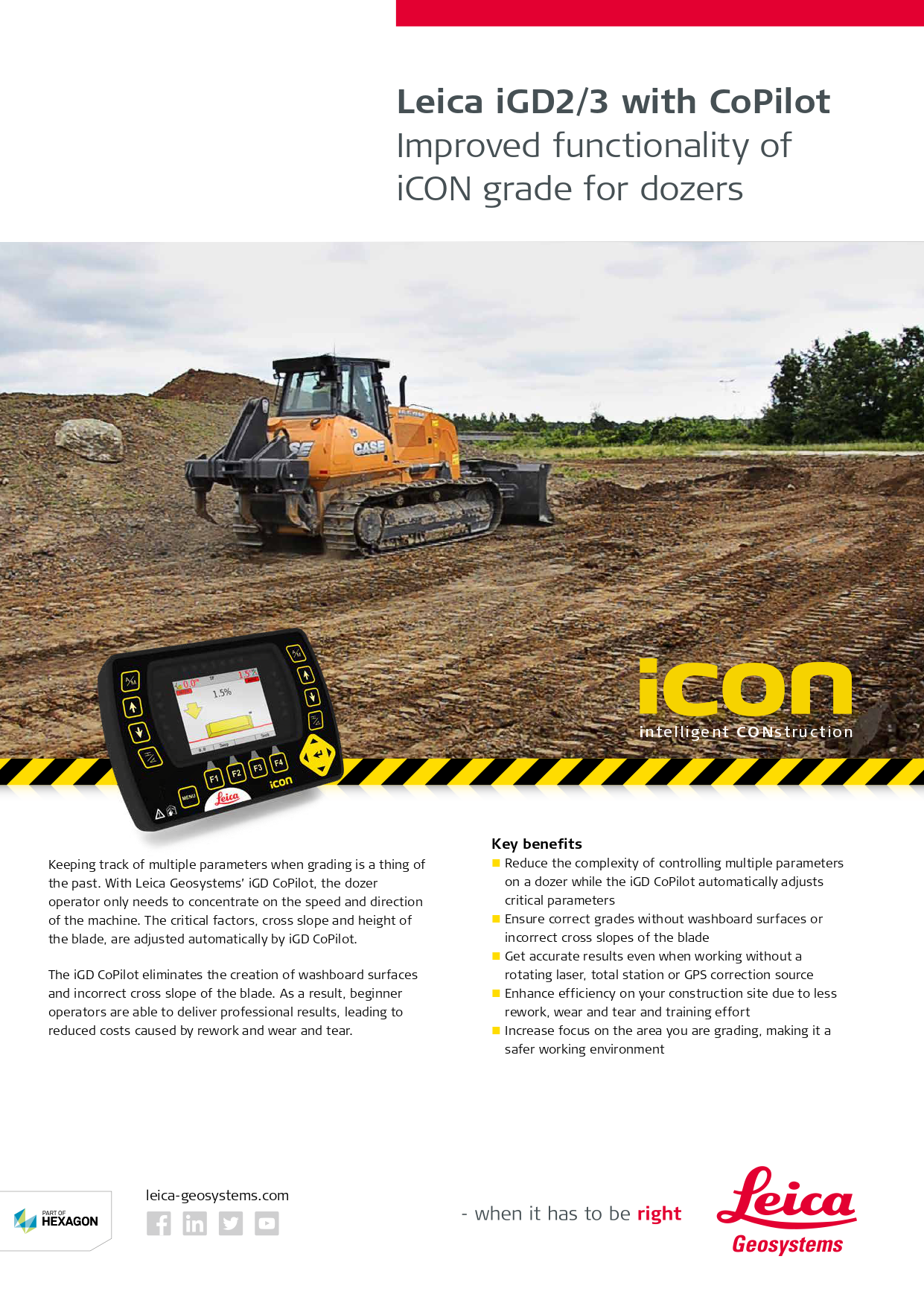
Intelligent 3D grading solutions for dozers
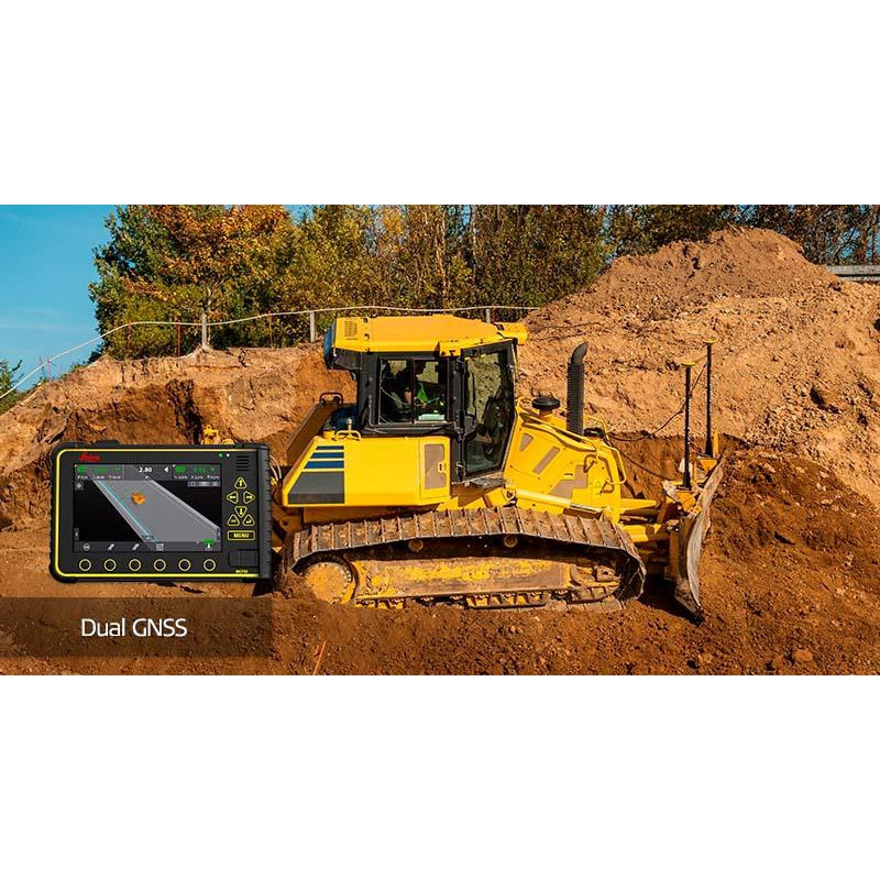
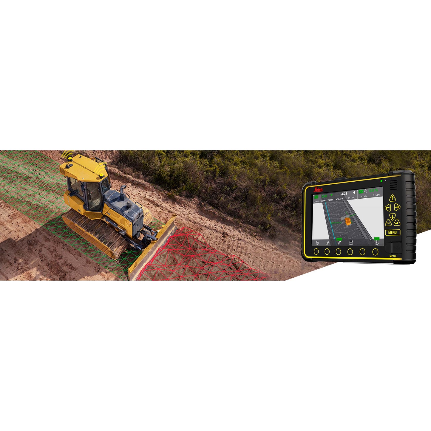
Leica iCON iGD3 grading system will revolutionise the way you move dirt and fine-grade. The 3D solution brings design surfaces inside the cab. Work independently, and accurately, anywhere on the project design guided by a GNSS system or a robotic total station. iCON grade iGD3 system for dozers can dramatically increase machine use, productivity and optimise material on any earthmoving and fine-grading contract. The system can be used with a wide range of sensors and combines ease of use, flexibility and an intuitive user interface.
The solution integrates Leica ConX which enables you easy data transfer between office and machines, remote communication, fleet management and earthmoving productivity analysis via the ConX website.
Leica iCON grade for dozers
One-for-all
The common 3D software platform and the common software, Leica MC1, offer a very flexible solution that can be used on several machines across the fleet on a job site.
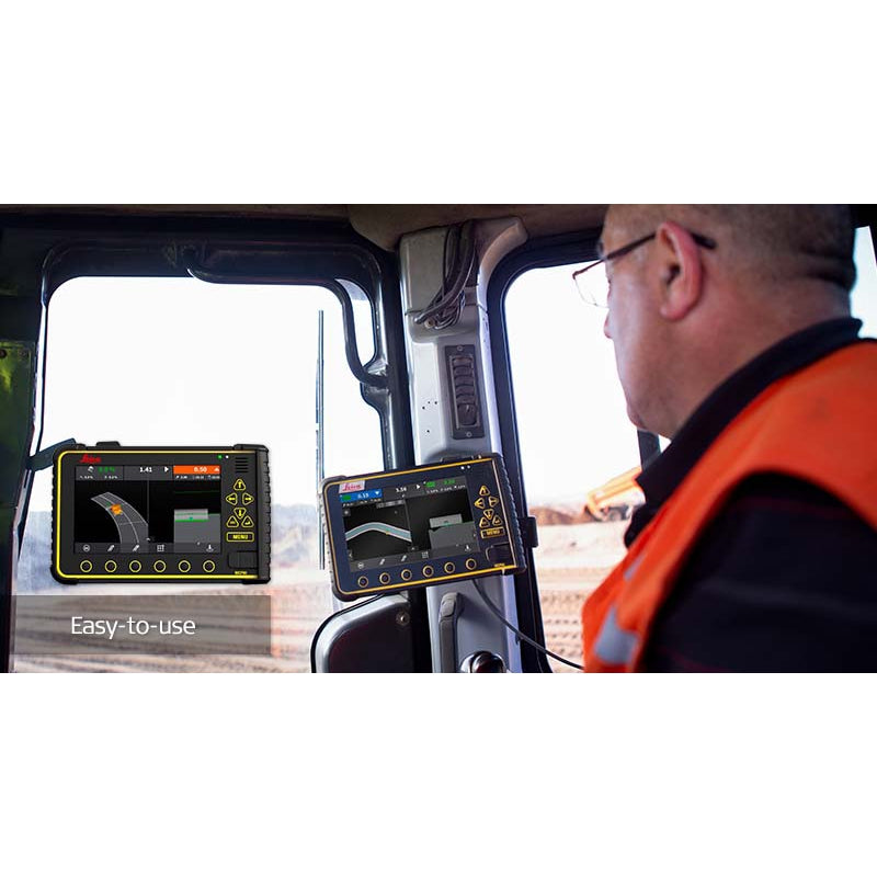
Intuitive user interface
The new MC1 software has a clean and simple design with all relevant functions made easily accessible directly in the run screen. Select different run screen views to fit your needs and the requirements of the job site.
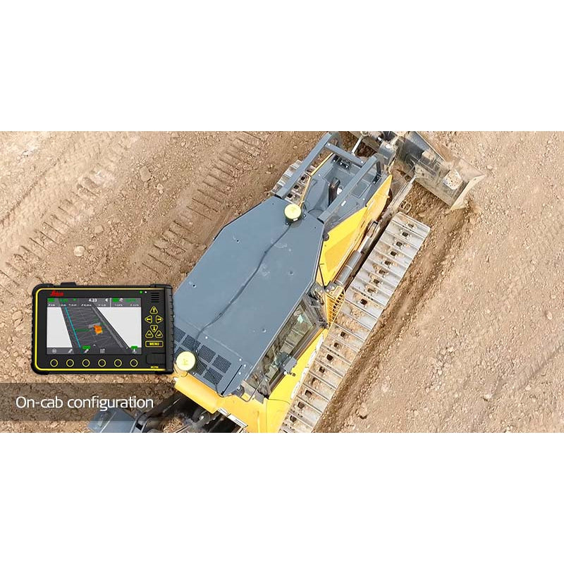
Flexibility
Configure your 3D machine control solution fast and cost-effectively to suit the requirements of the task at hand. Reduce the complexity in your fleet with one platform for all machines and obtain better utilization of your components.
Seamless data sharing
Seamless integration between all Leica Geosystems’ solutions, flexible data creation and open data format strategy ensures versatility and high usability for the customer.