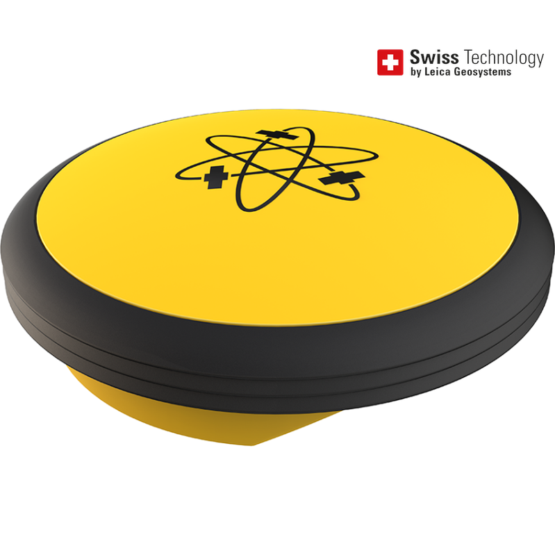
Leica iCON gps 30
Leica iCON gps 30
  • Load image into Gallery viewer, Leica iCON gps 30
  • Load image into Gallery viewer, Leica iCON gps 30

Leica iCON gps 30

Regular price
$0.00
Sale price
$0.00
Regular price
Sold out
Unit price
per 
Designed to facilitate the shift from traditional measurement methods using tapes and strings, to modern digital methods, the iCON gps 30 offers an easy-to-use and economic solution for construction measurement tasks. Equipped with Leica iCON fiel...

READ MORE

Designed to facilitate the shift from traditional measurement methods using tapes and strings, to modern digital methods, the iCON gps 30 offers an easy-to-use and economic solution for construction measurement tasks.

Equipped with Leica iCON field software, the iCON gps 30 can be used to:

  • Increase productivity of any construction project by adapting digital measurement methods
  • Define and document the position of water and sewer lines, oil and gas pipes or power and communication lines as part of the utility construction process
  • Stakeout rough outlines for subsequent building construction tasks or subdividing real property
  • Transfer outlines from design to field in landscape gardening projects or road construction
  • Simple survey of ground control points for UAV workflows

Designed with the operator in mind, the iCON gps 30 is an exceptionally lightweight and compact GNSS RTK rover, providing consistently accurate positions through advanced RTK technologies.

Integrated with the well-established iCON field software, tailored to typical construction workflows, the iCON gps 30 speaks the language of construction site professionals.

The iCON gps 30 is compatible with:

  • Leica iCON CC70 and CC80 field controller 
  • Leica iCON field software


No Video added yet.

No What's included added yet.

Variations

`

×

Call for Price