


- Regular price
- $0.00
- Sale price
- $0.00
- Regular price
-
- Unit price
- per
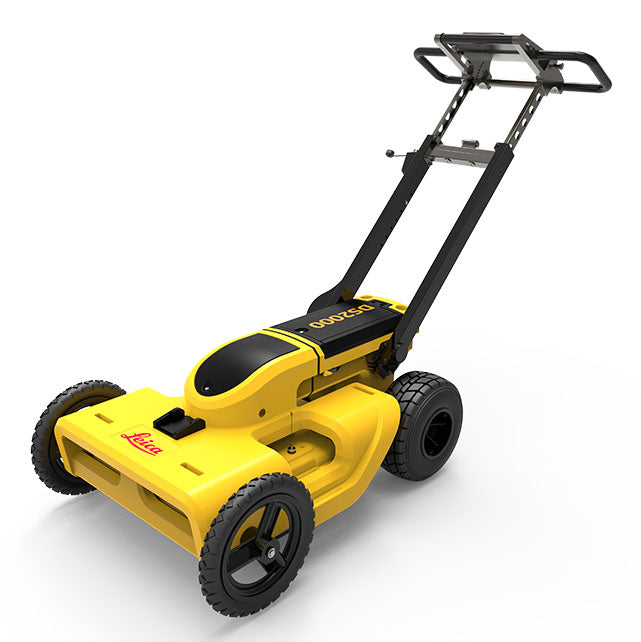
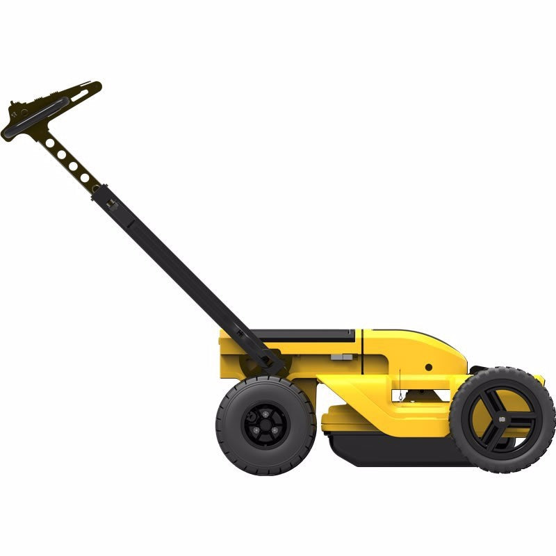
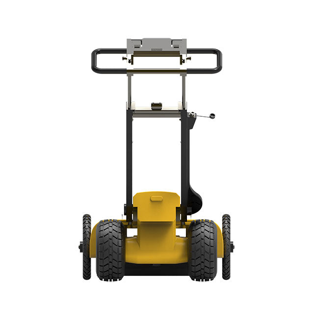
Leica DS2000 Utility Detection Radar
Uncovering safer, faster, more
There’s a lot going on underground that you need to know about before you ever start to dig. The Leica DS2000 Utility Detection Radar finds all potential threats, including non-conductive pipes and fibre optics, increasing safety by lowering the risk of accidently hitting underground assets.
Increase safety, speed up work and lower asset management costs with the ability to prevent hazardous outages and collect more information. The DS2000 betters your business by making it safer, faster and more efficient.
Key benefits
- Increase safety when the DS2000 identifies all potential threats
- Get to assets and recover quicker from outages when you know exactly where underground utility assets are located
- Dual-frequency antenna to detect deep and shallow targets simultaneously
- Easily collect and understand data with the DS2000’s simple and intuitive software and data storage
- Simple data storage and export to continue working on the post-processing at the office
- Effortlessly maneuver around the most challenging sites with the DS2000’s advanced ergonomics
- Expert knowledge of Leica Geosystems with more than 270 service centres worldwide
- PROTECT by Leica Geosystems - the strongest warranty in the market
Detection and underground mapping solution
Combined with the powerful and rugged Leica CT2000 field tablet, the GG04 plus or the GPS60 smart antenna, and the DD SMART Series cable locators and transmitters, the DS2000 is part of the complete Leica Geosystems detection and underground mapping solution that will enhance your business by making it faster and more efficient. With GRED HD 3D CAD post processing software, you will be able to convert radar data to CAD file.
No Video added yet.


No What's included added yet.
- Choosing a selection results in a full page refresh.
- Press the space key then arrow keys to make a selection.
